Your destination. Your daily rhythm.
Fastest checked weekday journeys
| Destination | By car | Public transport · from boarding | By bike |
|---|---|---|---|
| Politecnico · Bovisa Design | From 18 min | From 53 min | From 46 min |
| Politecnico · Leonardo | From 30 min | From 62 min | From 66 min |
| Università Cattolica · Centro | From 24 min | From 44 min | From 43 min |
| Bocconi | From 26 min | From 61 min | From 45 min |
| Università degli Studi · Centro | From 26 min | From 49 min | From 47 min |
| Ospedale Sacco | From 14 min | From 60 min | From 41 min |
| Galeazzi–Sant’Ambrogio · MIND | From 9 min | From 34 min | From 31 min |
| Ospedale San Carlo | From 8 min | From 25 min | From 18 min |
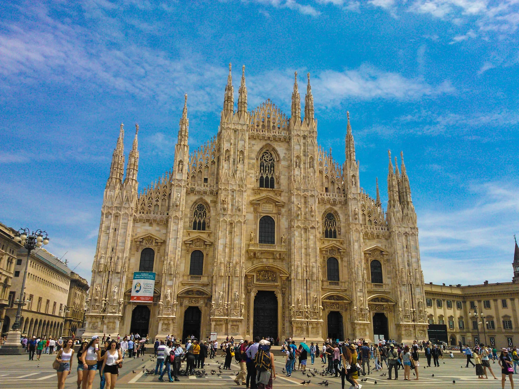
| Piazza del Duomo | From 30 min | From 36 min | From 51 min |
| Merlata Bloom Milano | From 8 min | From 27 min | From 20 min |
| De Montel · San Siro | From 8 min | From 30 min | From 26 min |
Indicative minimums under favourable conditions. Public transport starts at first boarding: the initial walk and wait are excluded; transfers and the final walk are included. Car times exclude parking and any final walk. Timetables, traffic and service changes can lengthen the journey. Checked for Tuesday 6 October 2026, morning departures.
Google MapsComing by car?
Public street parking is available. An internal parking space may be available on request; confirmation is required.
Your bearings in north-west Milan.
The circle marks a broad area around Molino Dorino. It is an orientation aid, not a walking-time radius. Check the journey to your own campus, office or hospital for the times you will travel.
Molino Dorino on Google MapsThe map loads only when you choose to open it. Map tiles are provided by OpenStreetMap; opening Google Maps takes you to the public station, not an apartment.
DORINO
Broad orientation area · no apartment marker